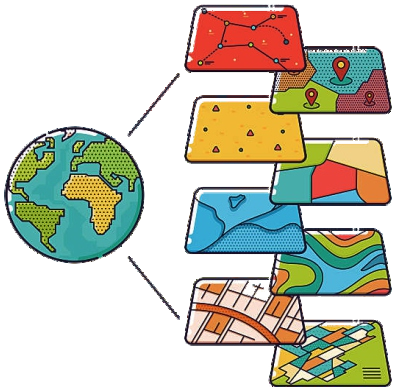
A geographic information system (GIS) is a computer system for capturing, storing, checking and displaying data related to positions on the Earth's surface. By linking information to location, GIS lets us see patterns and relationships that a spreadsheet alone can never reveal.
How GIS works
Every GIS combines three things: spatial data (points, lines, polygons and images), attribute data (what each feature is), and software that lets you query, analyse and map that information. Layers are stacked on top of each other — roads, rivers, land use, population — so you can ask questions like “which villages are within 2 km of a river and above 500 m elevation?”.
Where GIS is used
- Urban planning and smart cities
- Agriculture and crop monitoring
- Water resources and watershed management
- Disaster management and emergency response
- Utilities, transport and infrastructure
- Defence, forestry and environment
Because almost every decision has a “where” component, GIS skills are now valued in government departments, private companies and research organisations alike.