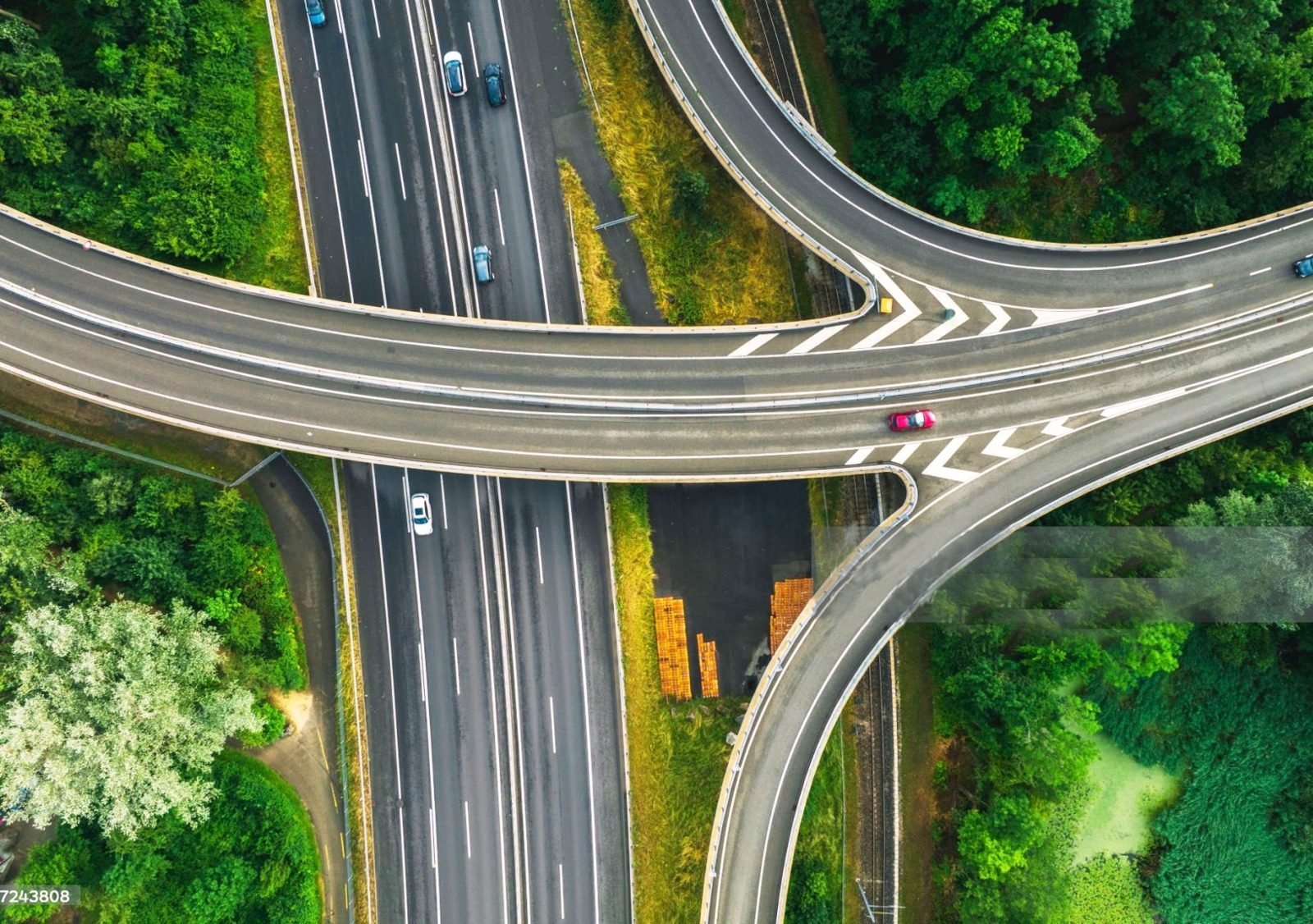
Geospatial technology has moved from a niche specialisation to a mainstream skill. Government programmes for land records, smart cities, water conservation and infrastructure all rely on accurate maps and spatial analysis.
Government sector
Organisations such as ISRO, the Space Applications Centre, Maharashtra Remote Sensing Application Centre, Survey of India, Forest Survey of India, the India Meteorological Department, NIC and ministries like Jal Shakti, Mines, Railways and Urban Development all employ GIS and remote sensing professionals.
Private sector
Mapping and IT companies in Pune, Mumbai and Hyderabad hire GIS analysts, digitization specialists, remote sensing analysts, survey engineers and GIS developers. Many projects are for international clients, offering exposure to global standards.
Typical roles
- GIS Executive / GIS Analyst
- Remote Sensing Analyst
- Cartographer
- Survey Engineer
- Photogrammetry / LiDAR Technician
- GIS Developer
A structured course with hands-on software training and project work is the fastest way to become job-ready for these roles.