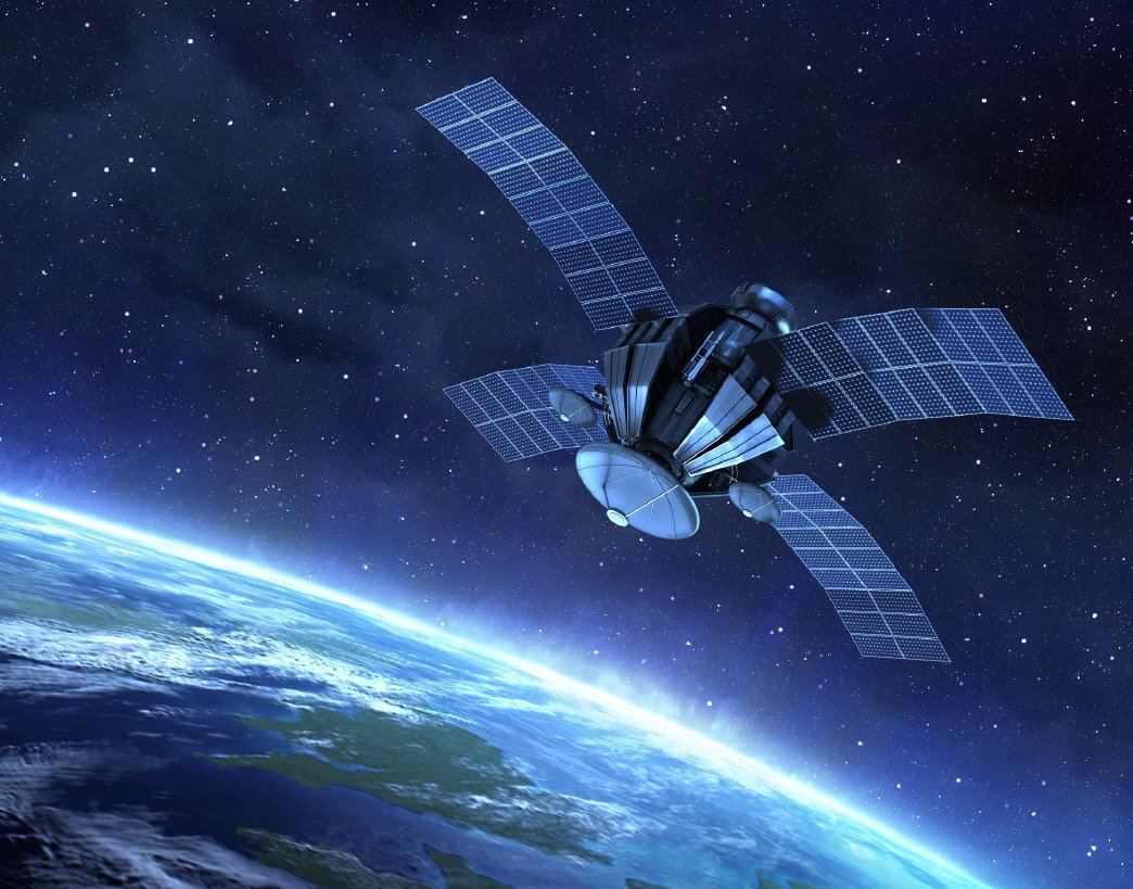
Remote sensing is the science of gathering information about the Earth without being in physical contact with it — usually from satellites, aircraft or drones.
The electromagnetic spectrum
Sensors record energy reflected or emitted by the surface in different wavelengths: visible light, near-infrared, short-wave infrared, thermal and microwave. Healthy vegetation, for example, reflects strongly in near-infrared, which is why the NDVI index is so useful for crop monitoring.
Resolution matters
- Spatial — the size of each pixel on the ground
- Spectral — how many wavelength bands are recorded
- Temporal — how often the satellite revisits the same place
- Radiometric — how finely brightness differences are recorded
From image to information
Using software like ERDAS IMAGINE, ArcGIS or QGIS, analysts correct, enhance and classify images to produce land-use maps, detect change over time and monitor resources. These are exactly the skills taught in our Advanced and PG Diploma programmes.