Training Facilities
Everything you need to learn GIS the way it is practised in the industry.
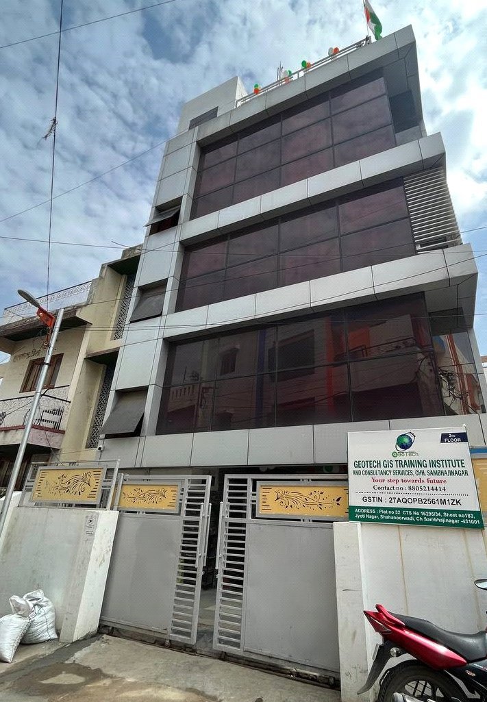
Computer lab
A dedicated GIS lab where every student works on their own system with QGIS, ArcGIS, ERDAS IMAGINE, AutoCAD Map 3D and Google Earth Pro.
Field equipment
GPS / DGPS receivers and survey instruments are used in practical sessions so you learn field data collection, not just desktop work.
Live projects
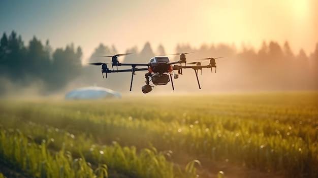
Through our consultancy work and our sister firm Flyview GIS Technology Pvt Ltd, students get exposure to real mapping, survey and data creation projects.
Study material
Course notes, practice datasets and project guidance are provided for every module.
Software learned
Industry tools, mastered
QGIS
ArcGIS
ERDAS IMAGINE
AutoCAD Map 3D
Google Earth Pro
Gallery
View all

Ready to start your geospatial career?
Talk to our counsellors about the right course, batch timings and fee plans. New batches start every month.